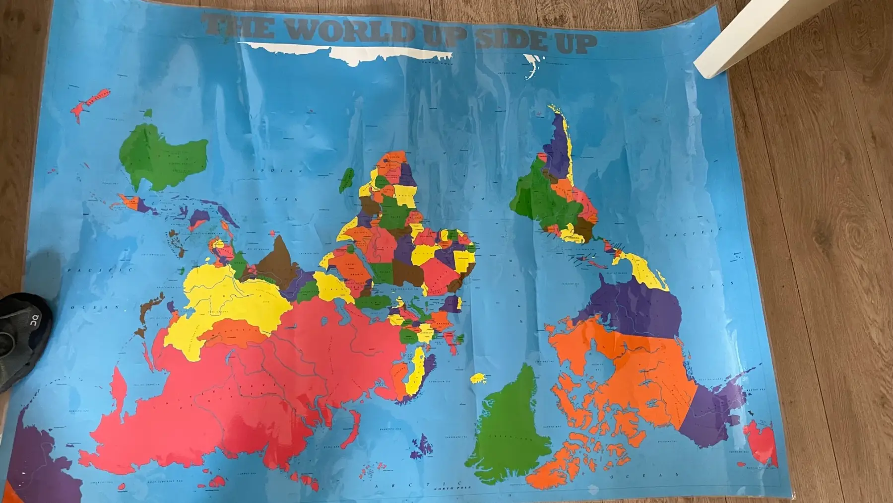
The World Down Side Up
hear me now believe me later
I had this world map printed in 1989 in an edition of 10000. For example, it had East and West Germany as one nation with Berlin as its capital, but the most important characteristic was that the South Pole was at the top, and the North Pole is obviously at the bottom of the map
This projection is located. It was printed in 1990 by the company Engelbracht and Engelbracht ISBN 73564, but was no longer a great success at the time. Because the map was not professional enough. For example, Hawai was missing on the image.
Perhaps it is for the Earth Price Shot an idea to reuse this image again. I have renewed the copyright through my lawyer. Also, I am still convinced that a reverse image can still be a success. It would be great if there were converters for this image who would like toproffesionolize it. Mind you, and the world image is one of the most seen images there is . And such a map would fit in the new era
